To know more click on photographs below:

Shimla is the capital city of Himachal Pradesh. In 1864, Shimla was declared the summer capital of the British Raj in India. A popular tourist destination, Shimla is often referred to as the "Queen of Hills" (a term coined by the British).

Shimla is the capital city of Himachal Pradesh. In 1864, Shimla was declared the summer capital of the British Raj in India. A popular tourist destination, Shimla is often referred to as the "Queen of Hills" (a term coined by the British).
Located in the north-west Himalayas at an altitude of 2,128 metres (6,982 ft), the city of Shimla, draped in forests of pine, rhododendron, and oak, experiences pleasant summers and cold, snowy winters. The city is famous for its buildings styled in tudorbethan and neo-gothic architecture dating from the colonial era. Shimla is connected to the city of Kalka by one of the longest narrow gauge railway routes still operating in India, the Kalka-Shimla Railway. Shimla is approximately 115 km (71.4 miles) from Chandigarh, the nearest major city, and 365 km (226.8 miles) from New Delhi, the national capital. The city is named after the goddess Shyamala Devi, an incarnation of the Hindu Goddess Kali.
Kullu:
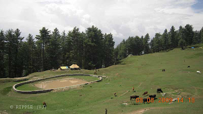
Kullu, once known as Kulanthpitha - "the end of the habitable world", is the capital town of the Kullu District, in the state of Himachal Pradesh, India. It is located on the banks of the Beas River in the Kullu Valley about ten kilometres north of the airport at Bhuntar.
Manali:
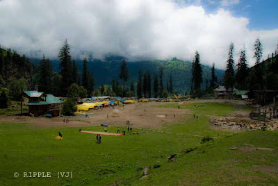
Manali (alt. 1,950 m or 6,398 ft), in the Beas River valley, is an important hill station in the mountains of Himachal Pradesh, India, near the northern end of the Kullu Valley. The small town was the beginning of an ancient trade route to Ladakh and, from there, over the Karakoram Pass on to Yarkand and Khotan in the Tarim Basin.
Manali and the surrounding area is of great significance to Indian culture and heritage as it is said to be the home of the Saptarshi, or Seven Sages
Dharmshala:
Dharamsala is a city in the upper reaches of the Kangra Valley and is surrounded by dense coniferous forest consisting mainly of stately Deodars. The town is divided into three parts—Upper Dharamsala called McLeod Ganj, the middle Kotwali Bazar and the lower Kaccheri area.
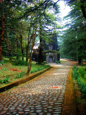

The town of McLeod Ganj in Upper Dharamshala is known worldwide for the teachings of His Holiness the Dalai Lama that take place here every year. It is also his residence. Dharamsala houses the headquarters of the Tibetan Government in exile about two kilometres below the town of MCLeod Ganj, led by the Prime Minister, Samdhong Rinpoche. McLeodGanj is also referred to as 'Upper Dharamshala'.
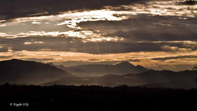
Dharamsala is the closest one can get to Tibet while still in India. This quaint hill station is home to His Holiness, the Dalai Lama, the spiritual and political head of the Tibetan Buddhists. Once a British hill station, Dharamsala received an influx of Tibetan refugees after the Chinese occupation of Tibet in 1959. Today, Dharamsala is a popular destination for Indian and foreign tourists, particularly those seeking spiritual salvation.
Dalhousie:
Dalhousie is a beautiful hill station in Himachal Pradesh. Established in 1854 by the British Empire in India as a summer retreat for its troops and bureaucrats, the town was named after Lord Dalhousie who was the British viceroy in India at that time.
It is built on and around five hills. Located on the western edge of the Dhauladhar mountain range of the Himalayas, it is surrounded by the beautiful scenery of snow-capped peaks. Dalhousie is situated between 6,000 and 9,000 feet above sea level. The best time to visit is in the summer, and the peak tourist season is from May to September. Scottish and Victorian architecture is prevalent in the bungalows and churches in the town.
It is built on and around five hills. Located on the western edge of the Dhauladhar mountain range of the Himalayas, it is surrounded by the beautiful scenery of snow-capped peaks. Dalhousie is situated between 6,000 and 9,000 feet above sea level. The best time to visit is in the summer, and the peak tourist season is from May to September. Scottish and Victorian architecture is prevalent in the bungalows and churches in the town.
Dalhousie is a gateway to the ancient Chamba Hill State, now Chamba District of the state of Himachal Pradesh of India. This hill region is a repository of ancient Hindu culture, art, temples, and handicrafts preserved under the longest-running single dynasty since the mid-6th century. Chamba is the hub of this culture. Bharmour, the ancient capital of this kingdom, is home to the Gaddi and Gujjar tribes and has 84 ancient temples dating from the 7th–10th century AD.
Tea Capital of North India : Palampur, Himachal Pradesh
Palampur, at a height of 1219 mts., is a main spot in the beautiful valley surrounded by tea gardens and pine trees. The place enjoys a healthy climate. Palampur can be visited anytime of the year, except perhaps the extreme winter months December and January.. Summers (April to June) offer pleasant warm climate with temperature ranging from 15°C to 29°C. Winters during November to February are very cold. Minimum temperature can reach down to -4°C. Snowfalls are very common during the winters. Monsoons offer less rainfall.
Behind the town stands high ranges of Dhauladhar mountains (white hill of snow), whose tops remain covered for most part of the year. This place is being developed as large tourist centre. An Agricultural University is already functioning near by one Ayurvedic hospital is situated, also one Ayurvedic medical college is there in Paprola is about 10 km away from here some tea factories are also in operation Kangra valley is also known as tea capital of India this tea was quite famous among Britishers.

There are also some pleasant walks around the town. A short walk from here takes one to the Neugal park here you take some hot sips of coffee with the awesome cold winds and have a pleasant view nearby, few kilometres ahead is Bundla chasm...
Several trek routes lead out of Palampur, particularly over the Dhauladhar Mountains towards the town of Chamba, Himachal Pradesh. Some important treks are over the Sanghar pass to Bharmaur via Holi, the forest trek from Mcleodganj to Treund and from Baijnath over the Jalsu pass to Bharmaur. A four-day trek will lead the traveler to Holi, via Waru La. Twenty-eight kilometers from Palampur is Billing, near Bir, an important centre for the adventure sport of paragliding. Paraglider pilots often land near Palampur after cross-country flights starting from Billing. Palampur also has numerous Buddhist monuments and is famous for its Tibetan handicrafts.
Kasauli:
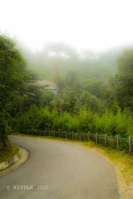 The most happening place in Kasauli is the junction of Upper and Lower Malls both of which are markets with shops selling daily commodities and souvenirs for tourists. The Lower Mall boasts local restaurants selling local fast food.
Kasauli has many outdoor trails where one can experience the natural serenity. Some of the better round-trip ones are located off Upper Mall Road and originate near BSNL quarters located within the Indian Army Premesis. One such trail leads to Hanuman point. There's other trails on the Lower Mall that will take you towards Gharkhal. The trails are safe and easy. The main trail to Monkey Point leads through Air Force Guard Station at the end of Lower Mall and one is required to register here first. The entry closes at 5:00pm
 The most happening place in Kasauli is the junction of Upper and Lower Malls both of which are markets with shops selling daily commodities and souvenirs for tourists. The Lower Mall boasts local restaurants selling local fast food.
Lahaul and Spiti:
It consists of the two formerly separate districts of Lahaul and Spiti.
Kunzum la or the Kunzum Pass (altitude 4,551 m; 14,931 ft) is the entrance pass to the Spiti Valley from Lahaul. It is 21km from Chandra Tal. This district is connected to Manali through the Rohtang Pass.
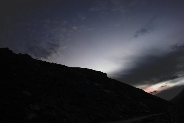
The two valleys are quite different in character. Spiti is more barren and difficult to cross, with an average elevation of the valley floor of 4,270 m (14,009 ft). It is enclosed between lofty ranges, with the Spiti river rushing out of a gorge in the southeast to meet the Sutlej River. It is a typical mountain desert area with an average annual rainfall of only 17 cm (6.7 inches).
Baijnath:
Baijnath is famous for its 13th century temple dedicated to Siva as Vaidyanath, ‘the Lord of physicians’. The town lies on Pathankot-Chakki-Manali highway (National Highway No. 20) almost midway between Kangra and Mandi. The present name Baijnath became popular after the name of the temple. The town is located on the left bank of the river Binwa, a corrupt form of ancient Binduka, a tributary of river Beas.

Kinnaur:
Kinnaur surrounded by the Tibet to the east, in the northeast corner of Himachal Pradesh, about 235 km from Shimla is a tremendously beautiful district having the three high mountains ranges i.e. Zanskar, Greater Himalayas and Dhauladhar, enclosing valleys of Sutlej, Spiti, Baspa and their tributaries. All the valleys are strikingly beautiful. The slopes are covered with thick wood, orchards, fields and picturesque hamlets. The much religious Shivlinga lies at the peak of Kinner Kailash mountain.

Chamba:
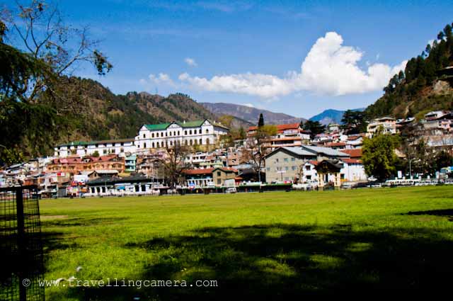
Chamba is an ancient town in the Chamba district in the state of Himachal Pradesh, India. Chamba town is situated on the banks of the Ravi River at its confluence with the Sal River; the Ravi river is a major tributary of the Trans-Himalayan Indus River. The hub of all activity in Chamba town is the Chaugan, a fine grassy sward, about 800 metres (2,600 ft) long and 80 metres (260 ft) wide. Every year, a fair known as the Minjar fair is held here, in the month of August. The town has a large number of monuments (temples, palaces etc) of various vintage.
Hamirpur:
Hamirpur has recently emerged as an educational hub of Himachal Pradesh. Following is the list of leading educational institutions.Now a days Hamirpur is the second educated region in India, male literacy is 83%, and female literacy is 79%.






.jpg)
Comments
Himachal Tourism