Cherrapunji is popular name in North Eastern part of India and mainly for amount of rains this region gets in an year. Once Cherrapunji used to be the place to see highest rainfall in India, but recent place to see this phenomenon is Mawsynram. Cherrapunji still gets enough rainfall to look beautiful with all those grand waterfalls, green covers all around and lot more. Because of various reasons, Cherrapunji remains one of the most popular tourist destinations in Meghalaya state of North East India.
Not sure if you observed this or not, in India we primarily talk about North India, South India and North-east India more than other regions. Many times it's driven by the fact how these regions are influenced by different cultures, food and lifestyles. And that's what makes a place special from travel perspective. Other reason is that planning a trip of North East part of India needs more time as there is so much to explore in this part of the country. Lot of folks tend to cover multiple states out of seven sisters in one go and that overcomplicates things.
When we travel from Shillong to Cherrapunji and close to the place, we start seeing 'Sohra' as name of the place on boards. Sohra is a geographical area located in East Khasi Hills District of Meghalaya, India. The name "Cherrapunjee" is not the real name of Sohra and its usage is discouraged due to its colonial history.
Sohra is the place where British Christian missionaries first came into contact with the Khasi tribal community and converted them to Christianity. That's one of the reasons that as you enter into the town, you would find lot of british influenced architecture, including some of the churches, schools.
Cherrapunji is approximately 55 kilometers from Shillong and it takes approximately 2 hours to reach Cherrapunji from Shillong assuming there are lot long breaks on the way. The drive is very beautiful with clouds roaming around the lush green hills of Meghalaya, so you may get tempted to stop your vehicle multiple times on the way. Apart from the cloud play, you would find that mountains in this part of the country are different than what you see in North or South. These mountains look flat on the top like what you see i Grand Canyon (not sure how good comparison is this, because one is dry area and other is full of greens)
While going to Sohra/Cherrapunji, there are plenty of waterfalls come on the way. You can take a stop and enjoy those views, but to go closer, one needs to hike a bit. Above is one of the waterfalls we saw on our way. There was a small ticket counter. One can have a 10 rupees ticket and walk 100 yards to have this beautiful view. This place doesn't only offer the view of this waterfall but also great ranges of green mountains merging into each other.
Let's talk about some of the main places to explore in and around Cherrapunji ni Meghalaya state of India.
Nohsngithiang (Seven Sisters) Falls :
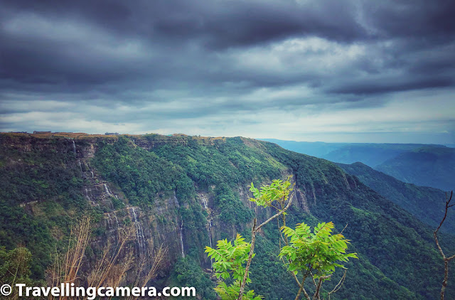
Above photograph shows Seven Sisters falls which is also called Nohsngithiang Falls and this photograph is clicked during the month of November. Supposedly these falls look even awesome during monsoons when rains are pouring continuously and there is more water in these falls.
There is a viewpoint close to the main road, where you can park your vehicle and enjoy beautiful views of Seven Sister waterfalls. I am sure there must be hikes which take you closer to these falls but then you would need to stay around Sohra and have good enough time to explore it.
Above photograph shows another view from same viewpoint from where one can see Bangladesh land at a distance. This is something pointed by our guide that you are standing in India and lot of Bangladesh land is visible from here at distance. On a relatively clearer day, it seems huge landscape from Bangladesh is visible from this viewpoint which is located at quite high land.
Above photograph is a little panorama showing Seven Sisters waterfalls on the left and then ranges of green mountains all around touching Bangladesh on other side of the hills.
Eco Park, Cherrapunji :
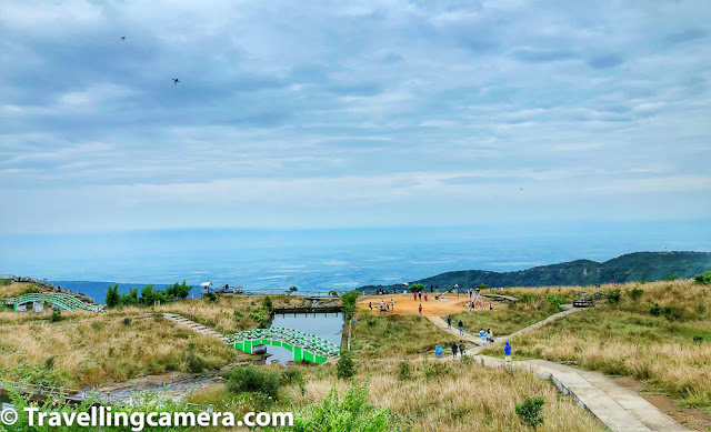
Eco park of Cherrapunji is another interesting place around Sohra region to explore and we had lot of fun walking around the Eco Park & exploring it's waterfalls. Eco Park has very well planned view points to see some of the amazing waterfalls, valleys and mountains full of natural life.
Above photograph shows one of the waterfalls inside Eco Park of Cherrapunji. The awesome part which I loved is that view-points are created a very good place which offer great views of the waterfalls originating from Eco Park of Cherrapunji.
This Eco park is designed and maintained by the Government of Meghalaya. The eco park also has a crystal clear water stream in its boundaries leading towards waterfalls surrounded by lovely boundaries & view-points to enjoy the grandness of the places around it.
There are spots marked for nice views of the canyons around the Eco Park of Cherrapunji in Meghalaya. The views from Eco Park are simply breathtaking & place is pretty well paved for good walking experience. Right from the other side of the park, one can see the amazing views of the plains of Bangladesh. Eco Park has a point which is the originating point of the popular Nohsngithiang Falls, we mentioned above in same blog.
Mawsmai Caves, Cherrapunji (Meghalaya) :
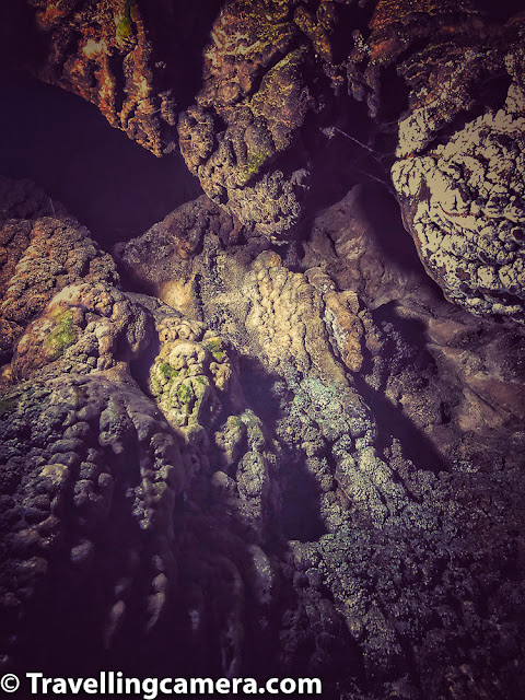
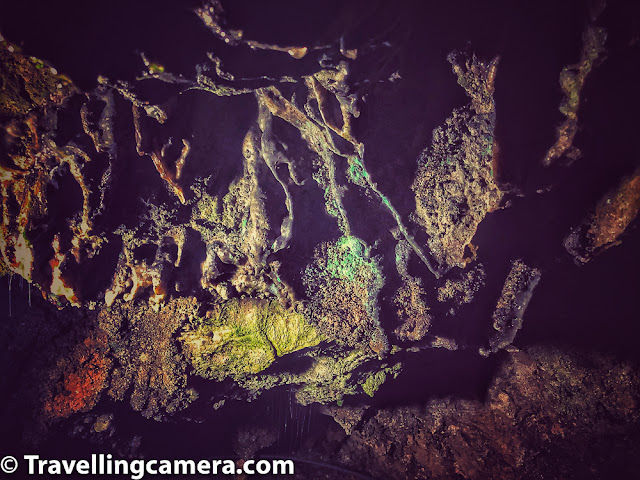
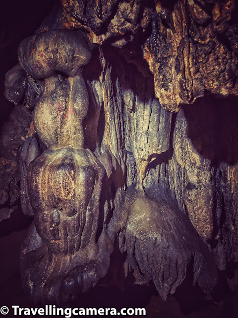
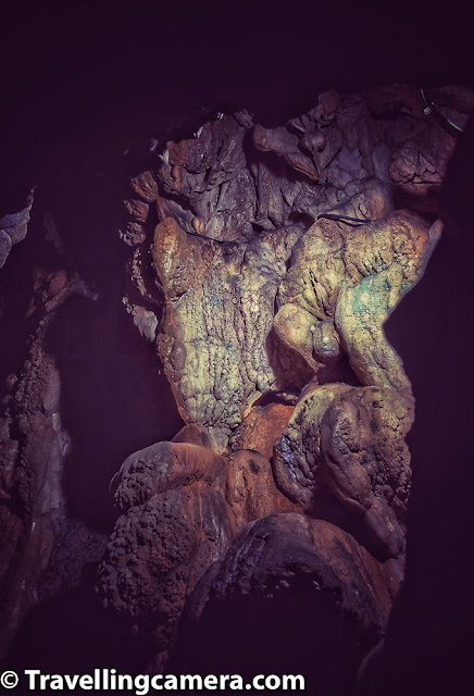
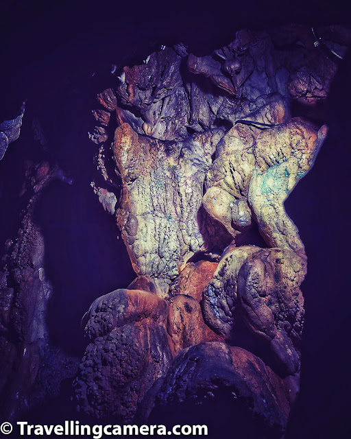
Mawsmai Caves of Meghalaya has pretty large number of caves in the Jaintia, Khasi Hills and Garo Hills districts in the Indian state of Meghalaya.
During our day in Cherrapunji we went to Mawsmai caves before other places like Seven Sisters waterfalls & Eco Park of Sohra. We went approximately an hour around these caves. There are mainly 2 caves out of which one is pretty difficult to navigate through.
Of the ten longest and deepest caves in India, the first nine are in Meghalaya, while the tenth is in Mizoram. Isn't that a very interesting fact to know about. I have been to Borra Caves this year which is in south and certainly these are not as long as Mawsmai caves are.
The longest caves of India is in Meghalaya and it's Krem Liat Prah in the Jaintia Hills. Entry ticket fees for Mawsmai Caves is 20 rs per person and if you have a camera, it would be 20 rs more. Caves are opened at 9:30am in the morning and closing time of Mawsmai caves is 5:30pm.
There are more places of interest around Cherrapunji region of Meghalaya. One of the other popular places is Double decker living root bridge :
Jingkieng Nongriat Double Decker Living Root Bridge which is commonly known as the Umshiang Double Decker Living Root Bridge is a wonderful place to explore. It's similar to what we shared in last post about Living Root bridge in Mawlynnong village but grander in many ways. This area is famous for root bridges made of Indian Rubber Trees, but the Double Decker Bridge is the most famous of all due to its large size and clearly stands out amongst other living root bridges of Meghalaya.
Nohkalikai Waterfalls around Cherrapunji :
Supposedly Nohkalikai falls are also known as the fourth highest waterfalls in the world. Nohkalikai falls have a height of 335 meters originating from verdant cliff giving a magnificent view from a distance as well as when you are standing at the bottom of the waterfall. Nohkalikai falls of Meghalaya are located between evergreen rainforest of the Khasi Hill and at the end waterfall merges into a lagoon which has bright blue color. Certainly looks a lot beautiful than many water bodies around other waterfalls of Meghalaya. There is an interesting story behind the name Nohkalikai falls, but I would rather let you figure that out when you visit the place :).
We didn't have enough time to visit Nohkalikai falls.
I am very sure that this beautiful part of Meghalaya would have much more than what we could explore in few days and that certainly demands few more trips to this beautiful state in North-East India.






.jpg)
Comments